Clear data to support confident decisions

SURVEYING

Protecting LAND, INVESTMENT, and OUTCOMES
with precision-led SURVEYING

Accuracy, insight, and accountability from the very start

For many years, our survey and design expertise has set us apart from other drainage companies. We have consistently raised the standard for land drainage scheme design, ensuring that every project is built on accuracy, insight, and long-term performance.

Drainage schemes are significant investments, expected to function effectively for generations. Achieving this requires getting the design right the first time. Something as fundamental as pipe alignment can have a dramatic impact on the overall success of a scheme. Likewise, precise design enables optimal use of gravel, preventing unnecessary expenditure on excessive backfill.

Because of the importance of these factors, we dedicate substantial time and resources to our surveying work. Our in-house surveying team conducts all site surveys prior to the delivery of any drainage project, ensuring we have complete and reliable data from the outset. Surveying is treated as a critical discipline, not a formality. Significant time is invested in gathering and interpreting accurate field data, ensuring that ground levels, soil types, existing drainage, watercourses, and site constraints are fully understood before any design decisions are made. This depth of insight allows schemes to be designed with precision, rather than assumption.

By taking this approach, pipe alignment, spacing, gradients, and outfall design are optimised from the outset. Materials are used efficiently, risks are reduced, and costly revisions are avoided. Most importantly, schemes are designed to work in harmony with the land, delivering reliable performance for generations rather than short-term fixes.

Good surveying is not simply about collecting data – it is about understanding the land and designing solutions that stand the test of time.

Owen Borley, Surveyor, William Morfoot Ltd
The Purpose of Our Survey

SURVEYING INSIGHT that underpins
EVERY SUCCESSFUL scheme

Our surveys collect essential information from each field, including:

Topographical Data

Accurate ground levels highlighting high and low points, as well as the natural direction of fall.

Soil Assessment

Analysis of soil types to determine appropriate pipe spacing and identify any need for wrapped pipe.

Critical Site Features

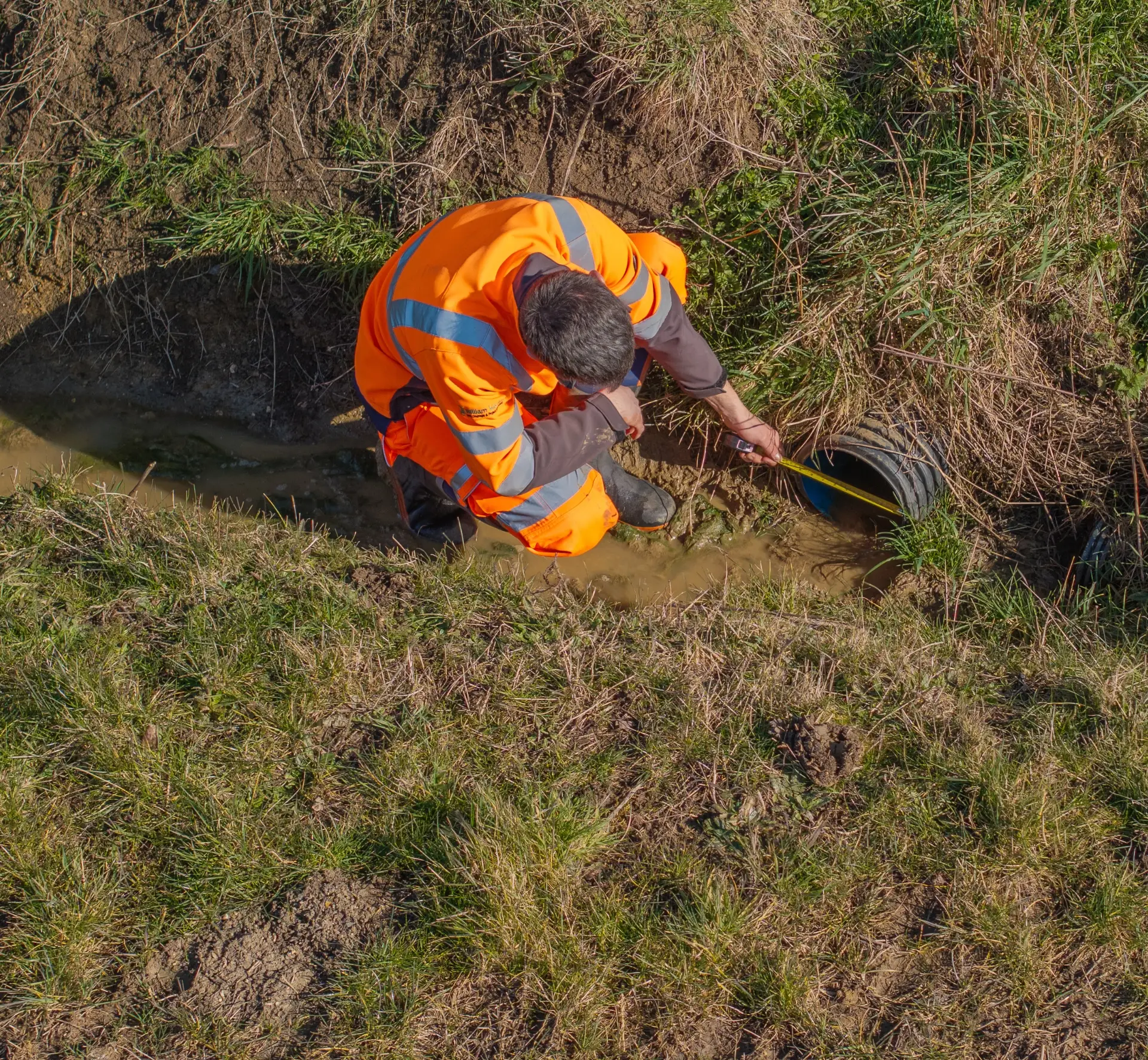
Recording the location of key infrastructure such as buried gas mains, electricity poles, and other elements that must be reflected in our plans.

Ditch and Watercourse Evaluation

Assessing ditch flow direction, culvert condition and size, and available freeboard to ensure successful outfall design.

Site Access and Logistics

Identifying suitable access points and areas for stockpiling stone and materials.

Wider Site-Specific Considerations

Understanding existing systems, such as carrier drains already handling high volumes of water, and any other factors that could influence scheme design.

Each survey provides the clarity needed to design schemes that are efficient, resilient, and built to perform over the long term.
How We Survey

A SURVEYING TEAM built on PRECISION and EXPERIENCE

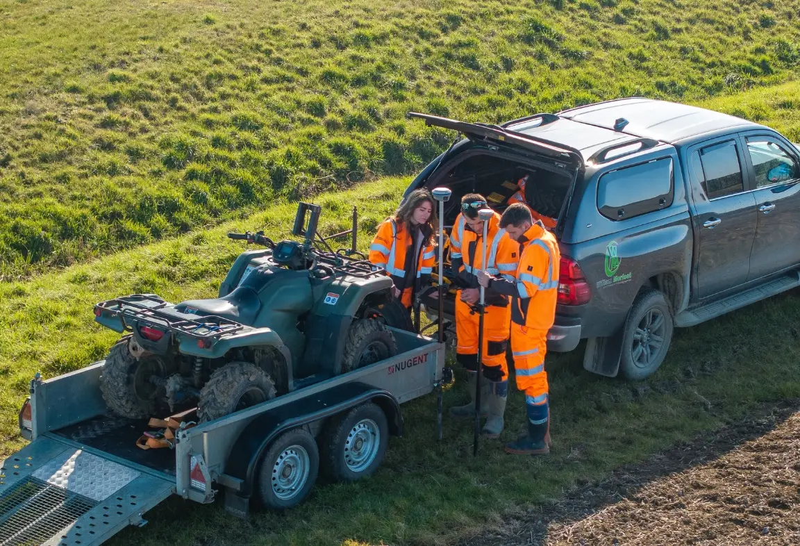
We use the latest GPS technology and gather data both on foot and via quad bikes to ensure thorough, accurate, and efficient topographical coverage across the site. Once the fieldwork is complete, our survey team uploads the data to our office, where it is processed using advanced mapping software. This enables our design team to make fully informed decisions when drawing up the scheme, carefully considering the many physical factors and constraints that influence successful drainage design.

Technical Surveying Expertise

  • Agricultural, civil, and environmental land drainage surveying experience
  • Accurate topographical mapping and assessment of natural fall and flow
  • Practical understanding of soil behaviour and drainage performance

Design-Integrated Surveying

  • Data collected with scheme layout, pipe spacing, and alignment in mind
  • Close coordination between surveying and design teams
  • Early identification of constraints to avoid rework and inefficiency

Site-Aware Surveying Approach

  • Confident working around existing drainage systems and buried infrastructure
  • Consideration of access, logistics, and working conditions during surveys
  • Awareness of environmental sensitivities and site-specific constraints

This combination of expertise and integration ensures survey data delivers clarity, confidence, and long-term value.

Surveying
Cutting-edge technology

Advanced SURVEYING TOOLS for ACCURATE, informed decision-making

Investment in specialist surveying technology ensures data is captured accurately, efficiently, and consistently across every site. Modern equipment and digital workflows allow surveys to deliver reliable insight, even across complex or large-scale schemes.
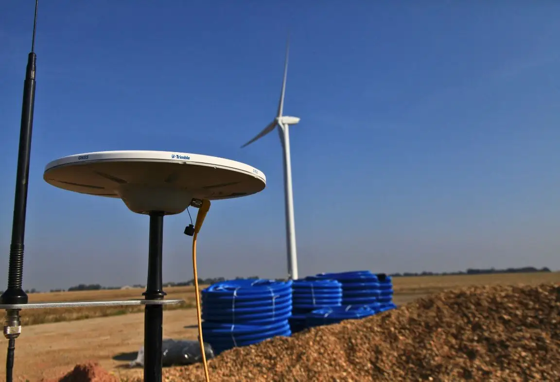
GPS-enabled surveying systems – capturing precise ground levels, gradients, and spatial data across entire sites.
Field data collection on foot and by quad – ensuring thorough coverage across varying terrain and conditions.
High-accuracy positioning technology – supporting confident alignment, spacing, and depth decisions.
Digital data transfer and processing – survey information uploaded directly to the office for analysis and scheme design.

Survey data is processed using advanced mapping and design software, allowing information to be visualised clearly and assessed in context. This ensures design decisions are based on accurate, site-specific intelligence rather than assumptions.

By combining experienced surveyors with modern technology, surveys provide clarity, reduce uncertainty, and support schemes that are efficient, resilient, and built to perform over the long term.


Enhancing ACCURACY and CONFIDENCE

Accuracy, insight, and accountability in every survey

Accurate surveying underpins every successful drainage scheme. From the first site visit through to final scheme design, surveying provides the clarity needed to make informed decisions and manage risk effectively.

Survey data is collected methodically and reviewed in detail, ensuring that ground levels, soil conditions, existing systems, and site constraints are fully understood. This structured approach supports clear, evidence-based design choices and reduces the likelihood of unforeseen issues emerging later in the project.

Surveying also plays a critical role in coordination and communication. Clear survey outputs allow designers, project managers, and site teams to work from the same reliable information, ensuring continuity from planning through to delivery.

By placing surveying at the heart of the process, schemes benefit from improved accuracy, reduced uncertainty, and greater confidence in long-term performance. This attention to detail not only protects the land and the investment being made, but also reinforces a reputation for thoroughness and quality across every project.

Need confidence in your survey and scheme design
before work begins?

Or speak directly to our surveying team on

+44 (0)1362 820 371